
DAYTON — Stronger storms are possible, but aren’t likely this week. Multiple attempts of showers and storms are possible through Saturday. This will not be a washout event. Storms will be scattered at best and rainfall totals now through Thursday will only amount to a half an inch to an inch.
[DOWNLOAD: Free Storm Center 7 Weather app for alerts as news breaks]
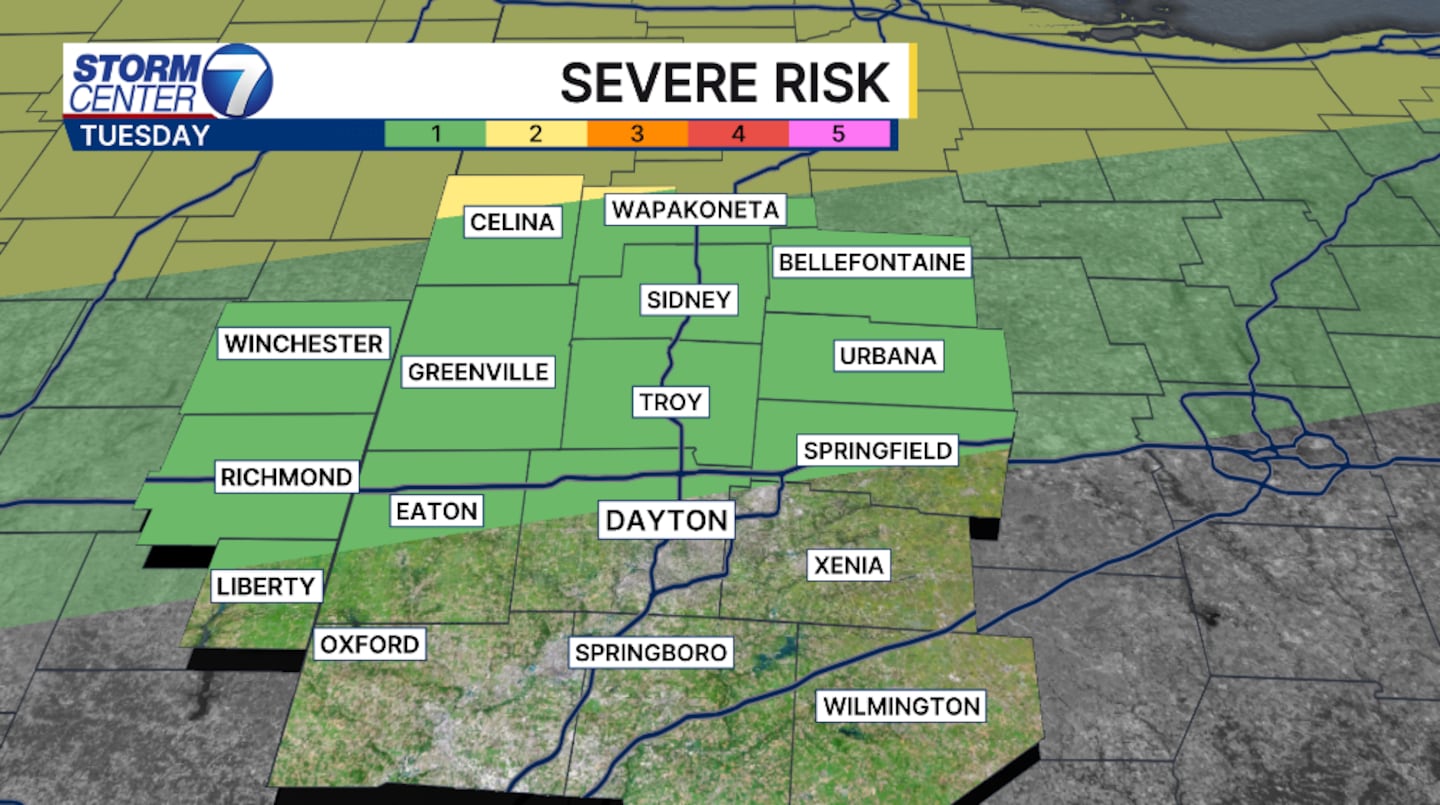
Strong storm threats are possible Tuesday afternoon and evening. Once again possible Wednesday afternoon and evening. This is mainly the case along I70 and north. Once again, the threats are extremely low. The main threats include strong winds of 60 MPH and small hail an inch in diameter or less.
[WATCH Storm Center 7 Weather on the following devices]
A strong southwest wind will hold throughout the week as the stalled boundary holds over the Great Lakes. This will allow for the above normal temperatures to remain. The cold front won’t actually pass until late weekend. This will once again bring another chances for storms.
©2026 Cox Media Group


