
DAYTON — A low-pressure area is developing west of the Miami Valley. A cold front will attach to it and slide across SW Ohio Thursday.
Rain chances are increasing early Thursday, then again throughout the afternoon and evening.
[DOWNLOAD: Free Storm Center 7 Weather app for alerts as news breaks]

Currently, the Miami Valley will experience two waves. The first comes through early Thursday, after midnight, and lingers throughout the early morning hours.
The second wave looks to develop after 2 PM and linger throughout the early evening hours.
[WATCH Storm Center 7 Weather on the following devices]
At this time, the severe weather threat is low. However, a few stronger storms can’t be ruled out. Gusty winds will be the biggest threat. Gusts may reach around 50MPH.
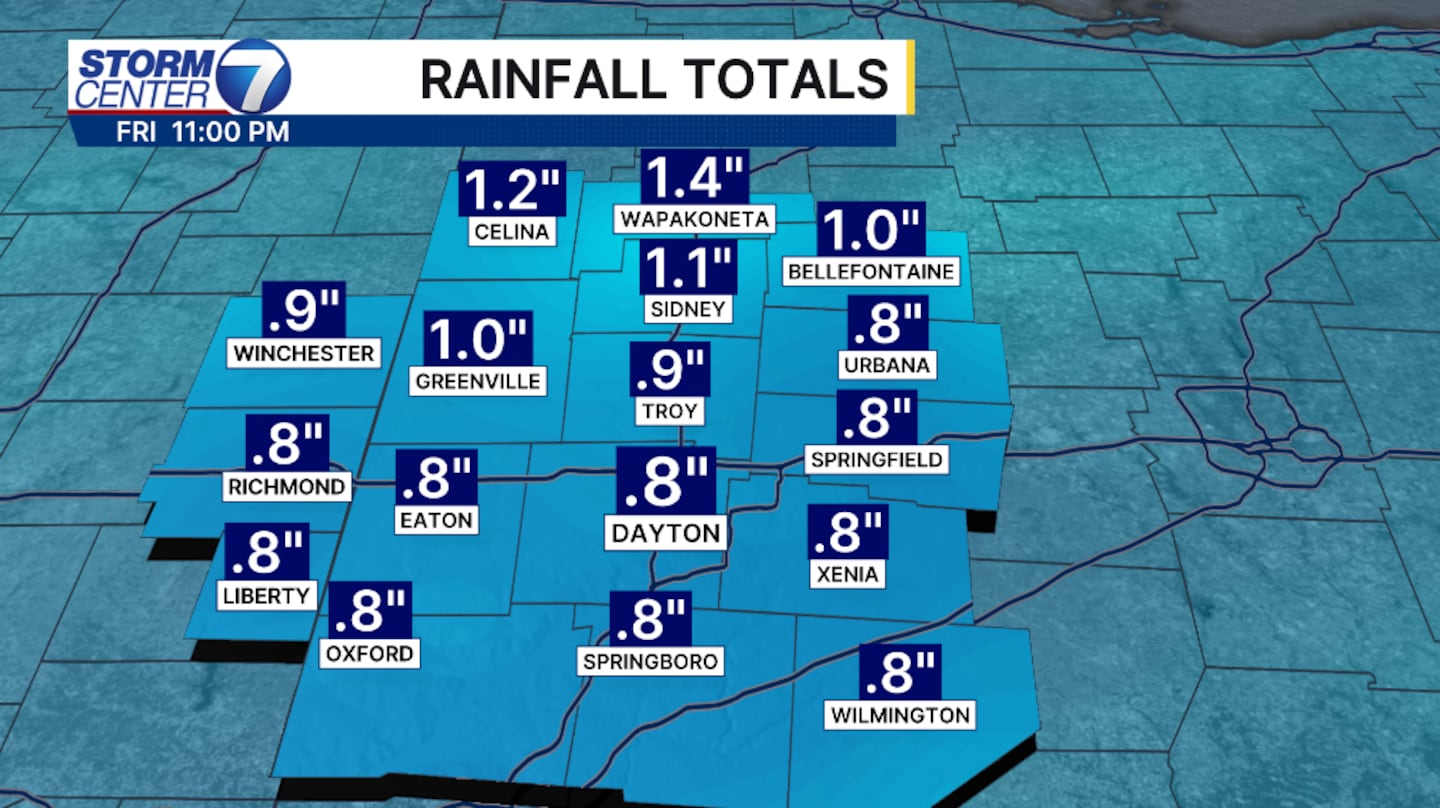
Heavy rain under stronger storms may pose a localized flooding threat. Rainfall totals can amount to around 1 inch. Isolated higher amounts are possible under heavy downpours.
©2026 Cox Media Group


