
MIAMI VALLEY — The Miami Valley could see more snow and ice this week.
[DOWNLOAD: Free WHIO-TV News app for alerts as news breaks]
Storm Center 7 Meteorologist Britley Ritz is TRACKING these chances. She has the latest TIMING and IMPACTS today on News Center 7 Daybreak starting at 4:25 a.m.
TRENDING STORIES:
- Several deputies respond to Montgomery County neighborhood
- School district closed for second straight day ‘due to significant staff illnesses’
- ‘Preyed upon a child;’ Community speaks out after teacher arrested for relationship with student
We will see cloudy skies with a few flurries possible this morning especially south of Interstate 70 with temperatures in the low 20s.
Ritz says a system will largely hit south of the Miami Valley today. Some snow showers could spread as far north as Camden, Dayton, and Springfield.
The most impactful accumulations of an inch or greater will fall south of Interstate 71.
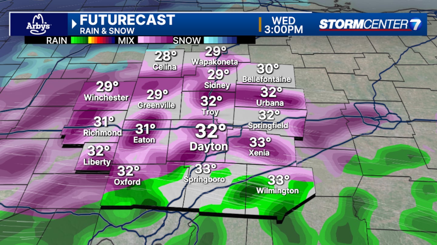
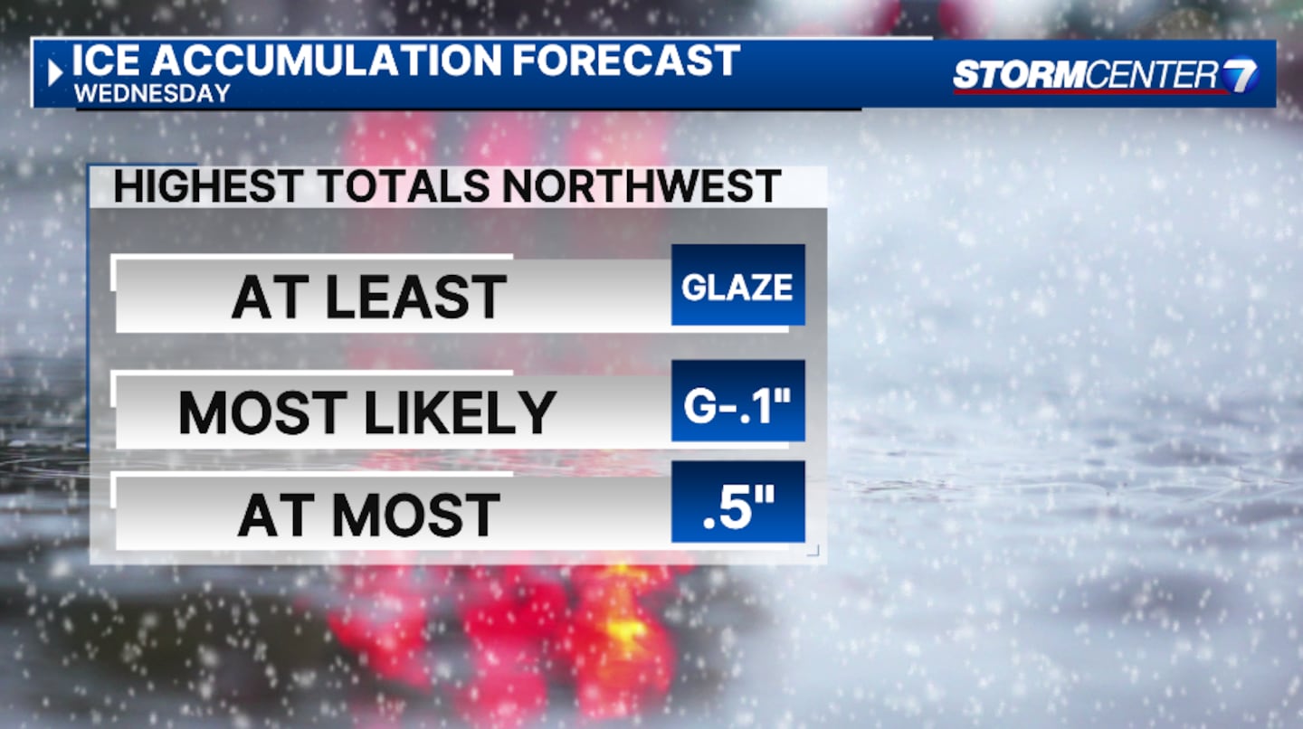
Wednesday will have a chance of freezing rain, followed by cold rain Wednesday afternoon and evening, according to Ritz. Freezing rain could begin around 2 p.m.
“Everyone will have the chance for some brief icing, but temperatures do climb above freezing fairly quickly Wednesday evening. The exception will be our far northwestern communities where colder air could stay locked in place longer,” said Ritz.
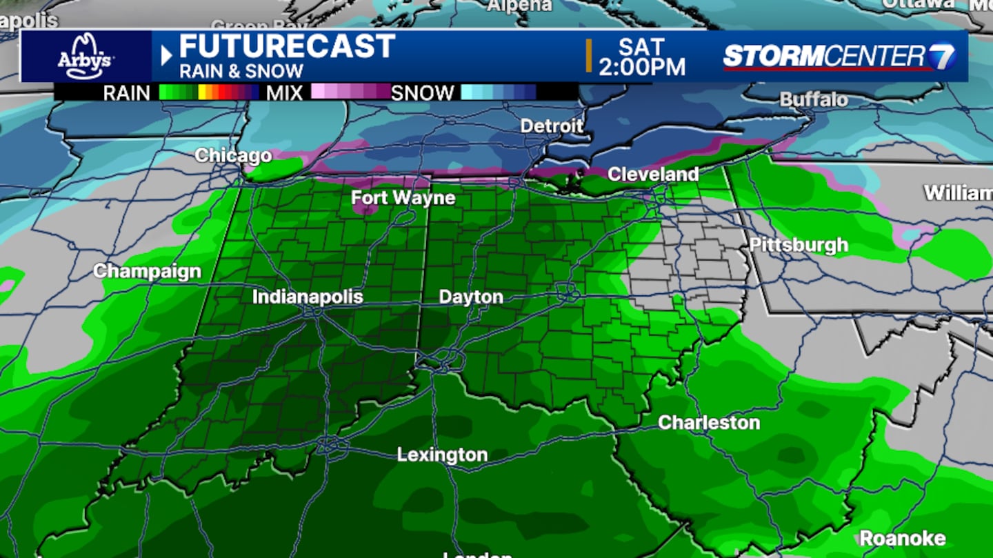
As the system pulls away Thursday morning, light snow is possible.
News Center 7 will continue to follow this story.
[SIGN UP: WHIO-TV Daily Headlines Newsletter]
©2025 Cox Media Group


